Maps
Click on an image to enlarge
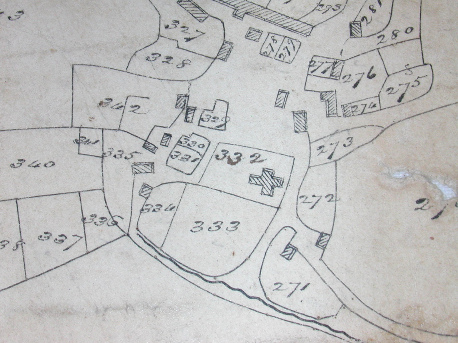
Tithe Apportionment Map - Llangwm and Freystrop 1841
The map and apportionment documents for Llangwm and Freystrop are extremely informative, giving details of residents and owners of land, field boundaries, use of land and assessed value of rents. This is a section of the map showing the area around the centre of Llangwm. The map and documents are available to view at Pembrokeshire Archives, Ref No D-RTM/13/39.
Ordnance Survey Map of Llangwm and Surrounding Area - Provisional Edition, 1952
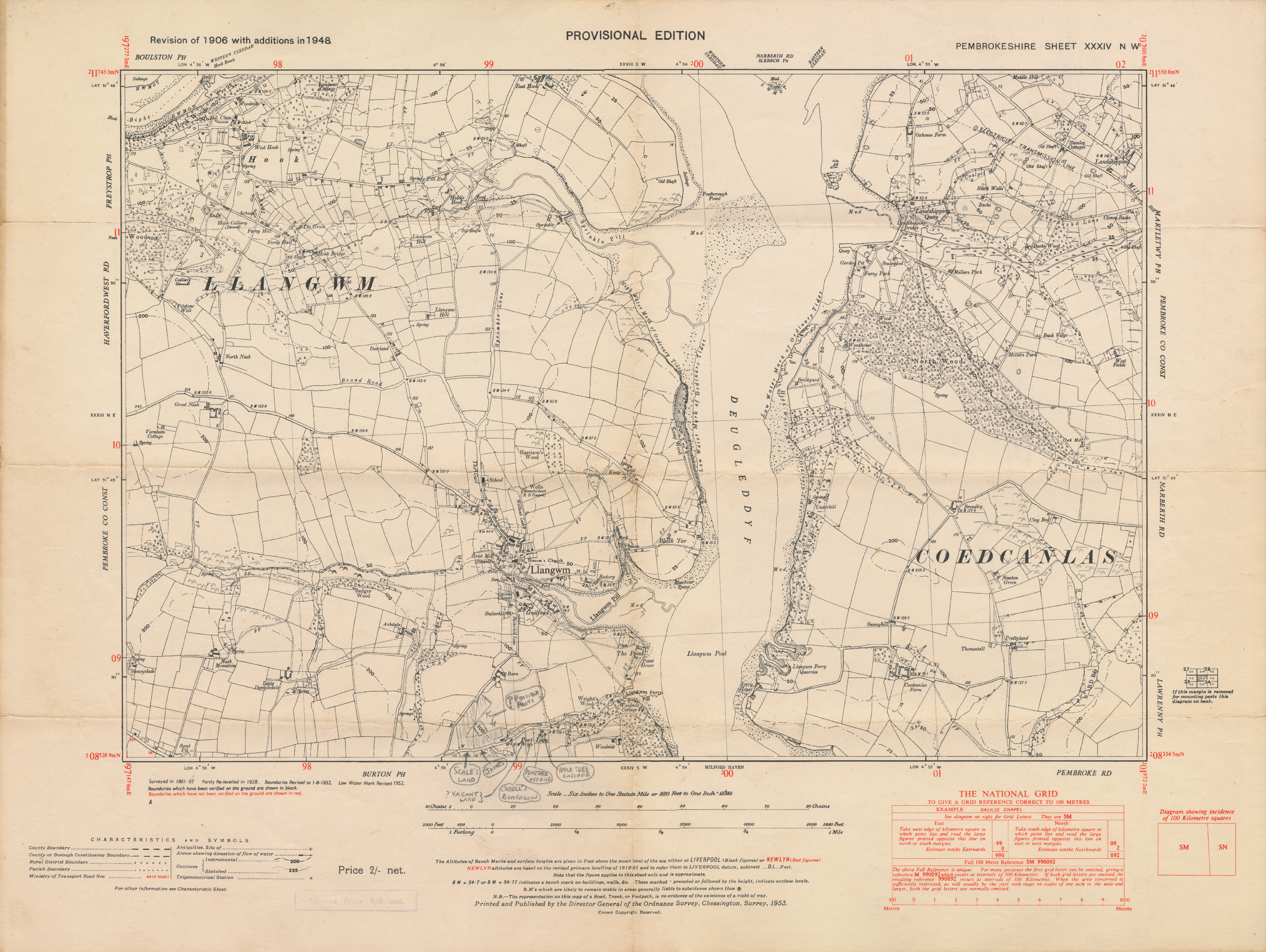
Please note that this image measures 15.75 x 11.85 inches and not suitable for printing on standard home printers.
Ordnance Survey Map of Llangwm and Surrounding Area - Provisional Edition, 1952
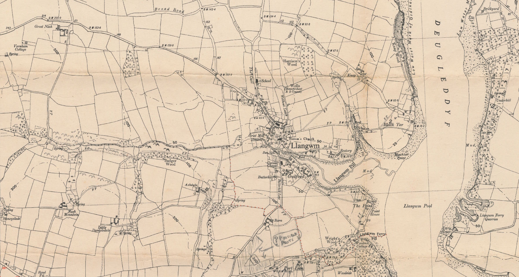
Image is clipped to show the village and immediate surroundings.